


 11 / 60

11
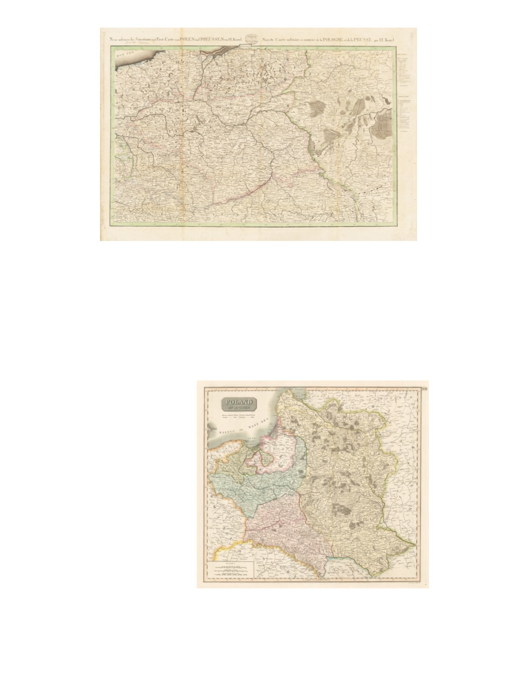
16) Neue militairische Situations und Post-Carte von Polen und Preussen von I.E. Knittel/Nouvelle Carte militaire et routière de la Pologne et de la Prusse par I.E. Knittel By: Friedrich Campe Date: 1812 (published) Nürnberg Dimensions: 20.7 x 32.5 inches (52.5 x 82.5 cm) This highly detailed map presents military and post routes centering on the region of present-day Poland in the era of Napoleon’s campaign against Russia in 1812. Numerous small towns and roadways are represented in detail. Warsaw is in the center of the map, which follows the entire course of the Vistula River via Krakau (Kraków), Warsaw, and Torún (Thorn), to Danzig (Gdansk). Included regions are Lower and Upper Silesia, eastern Pomerania, East Prussia south of Königsberg, present- day western Belarus (including Minsk) and Ukraine (including Brody and Lemberg [Lviv]), and northern Austrian Galicia (including Krakau). Other important towns included are Breslau, Lublin, Zamosc, Przemysl, Brzesc, Bialystok, and Grodno. Condition: Very good condition with some light browning along vertical folds, original color, and ample margins. SOLD 17) Poland as Divided By: John Thomson Date: 1814 (Published) Edinburgh Dimensions: 17.13 x 19.3 inches (43.5 cm x 49 cm) A detailed map showing areas annexed by Prussia in green, Austria in pink and Russia in yellow. The map accurately demonstrates the result of the Third Partition of Poland in 1795. Detailed depictions of rivers, towns, forests, and marshes are shown throughout. Condition: Excellent condition with original color and wide margins all around. $450